Description
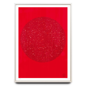
Graphic New York Map Print
on 300gsm matte archival smooth paper
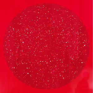
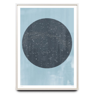
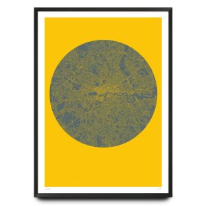
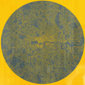
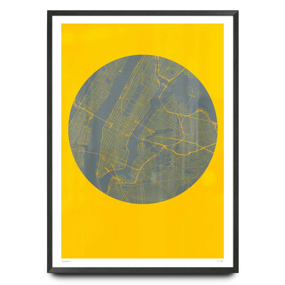
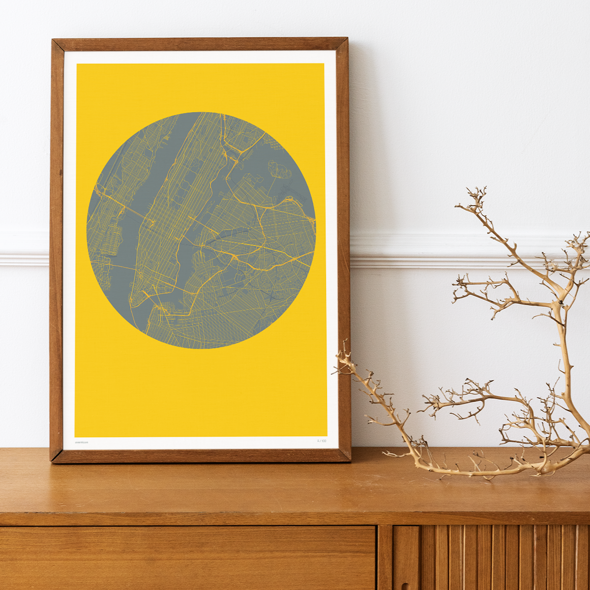
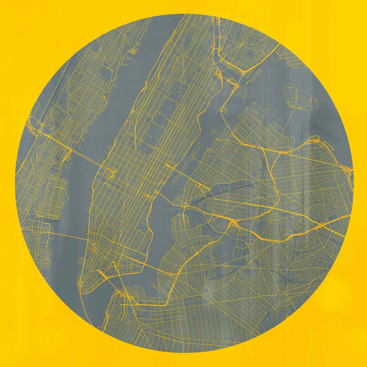
Bespoke, graphic map of New York containing every street, road and transport route in the big apple. A fascinating snapshot of New York where the negative space comes alive.
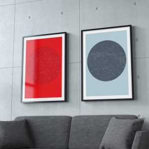
This unique artwork is part of a pair – please check out Planet London here.
Hand editioned in pencil
One of 100 copies only
Sizes: 500 x 700mm / 19.7″ x 27.6″ or 700 x 1000mm / 27.6″ x 39.4″
Paper:
Professional fine art paper. 100% cotton paper with a smooth surface texture – guarantees archival standards.
Our giclée prints are printed on exhibition standard Ultrachrome HDR archival ink system of the Epson 7890 LFP.
New York City map limited edition print additional information:
Please note, the frame is not included.
The colours of the print can vary from those shown on screen. We strive to make our colours as accurate as possible, but screen images are intended as a guide only and should not be regarded as absolutely correct.
Planet New York – The Grid as Art
Manhattan’s street grid is one of the great design achievements of the 19th century. Laid out by the Commissioners’ Plan of 1811, it imposed relentless Cartesian order on a wild island, creating the framework within which the modern city would explode skyward. It was visionary, controversial, and utterly American in its ambition.
Planet New York takes that grid and makes it the subject. Every numbered street, every named avenue, every bridge, tunnel, and transit corridor is present. But rather than rendering the city’s buildings and landmarks, the print draws only the connective tissue – the infrastructure that binds the boroughs together. Central Park becomes a dark rectangular void. The waterways that define the city’s geography – the Hudson, the East River, the Harlem River – are revealed through absence rather than presence.
The approach is rooted in a graphic cartography tradition that values visual impact over navigational detail. Like Harry Beck’s Underground map or Massimo Vignelli’s controversial 1972 subway diagram, Planet New York understands that a map can be an idea as much as a tool. It is not designed to help you find a specific address. It is designed to show you what New York City actually looks like as a system – dense, relentless, and magnificent.
For anyone who has walked Manhattan’s canyons, the print offers a shift in perspective. Seen from above, the grid reveals patterns invisible at street level. The dramatic density of Midtown. The surprising openness of the Upper West Side. The way Broadway cuts diagonally across the orderly matrix like a scar from an older, wilder city – which, of course, it is.
Whether you’ve lived in New York your entire life, spent a handful of unforgettable days there, or simply admire the city from a distance, Planet New York offers something rare: a way of seeing a familiar place as if for the first time. Pairs perfectly with Planet London for a curated set celebrating two of the world’s most iconic urban landscapes.