Description
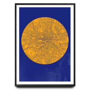
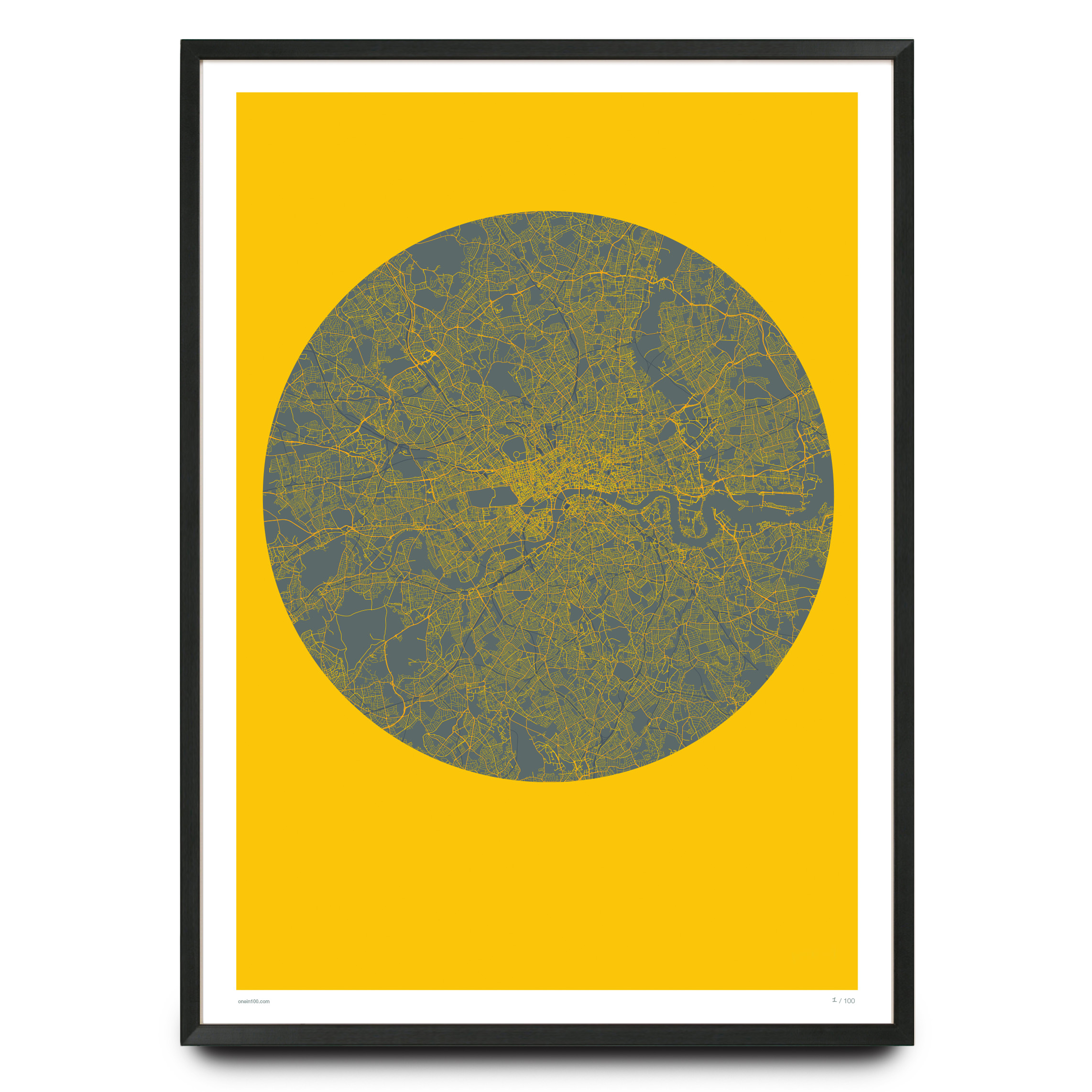
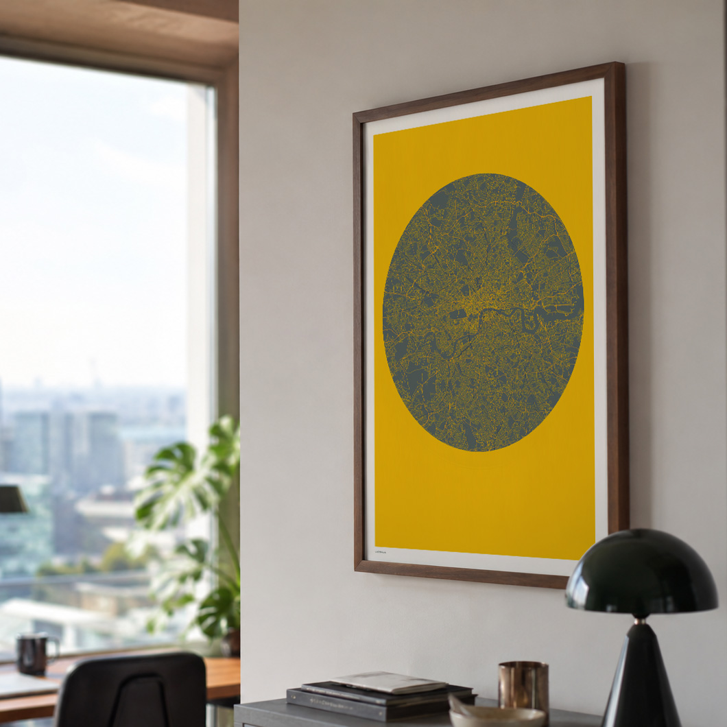
Graphic London Map Print
on 300gsm matte archival smooth paper.
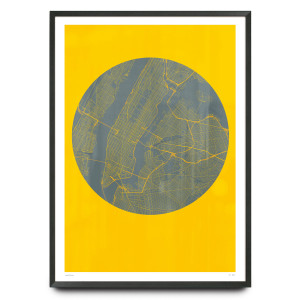
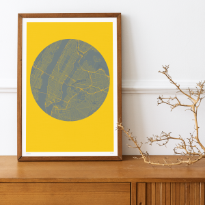
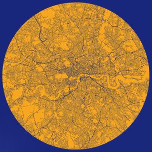
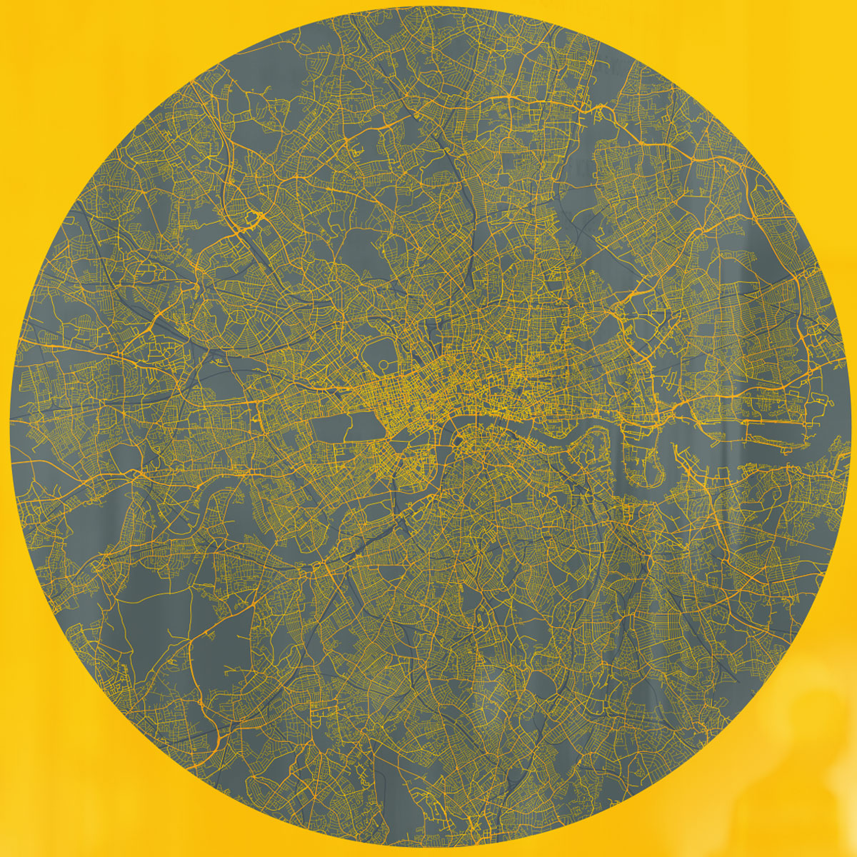
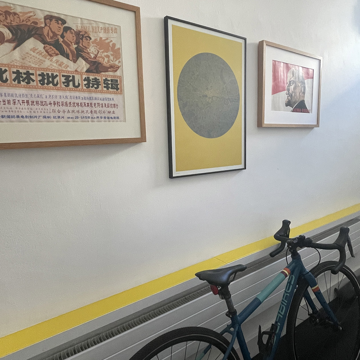
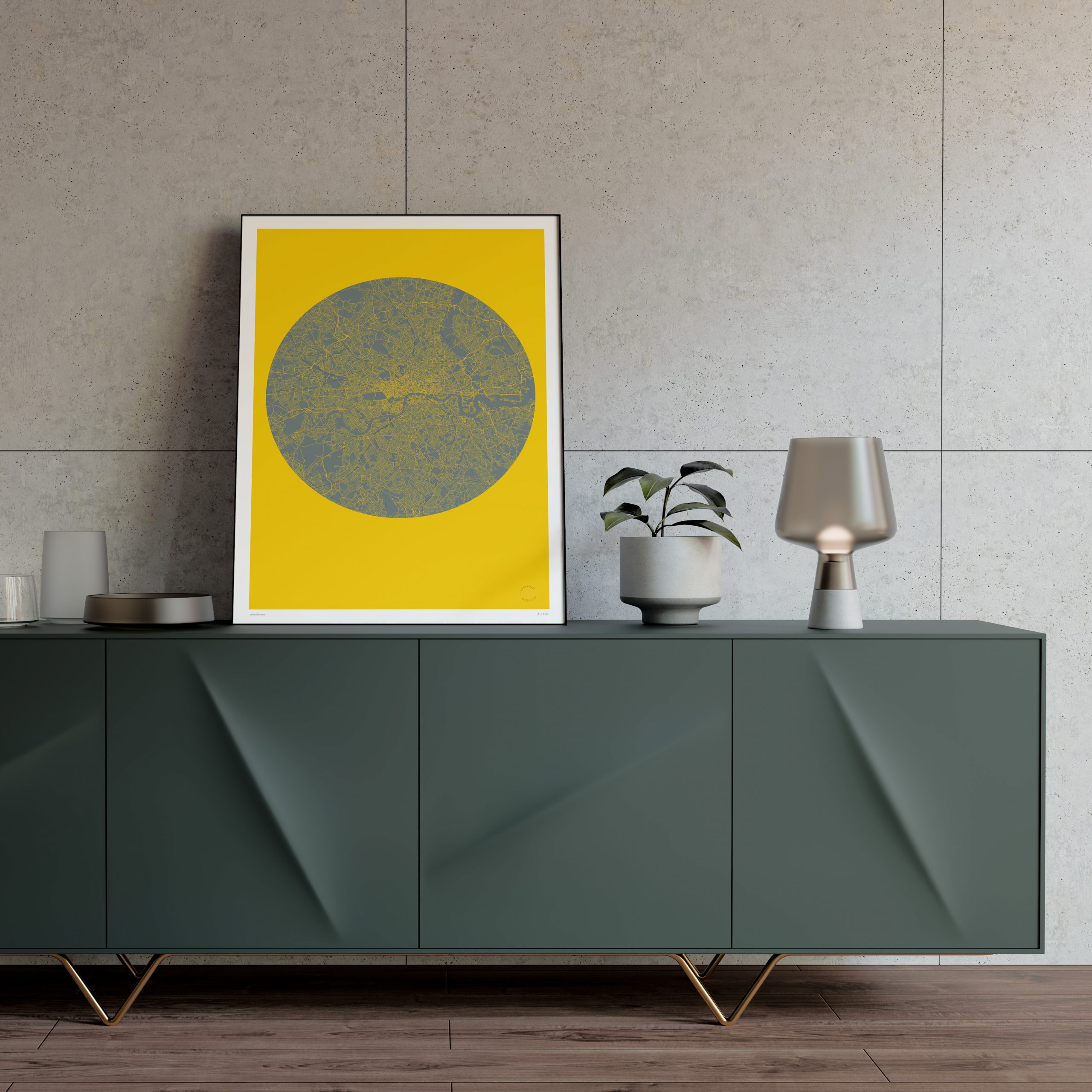
Bespoke, graphic map of London containing every street, road and transport route in the UK’s capital city. A fascinating snapshot of London where the negative space comes alive.
This unique artwork is part of a pair – please check out Planet New York here.
Hand editioned in pencil
One of 100 copies only
Sizes: 500 x 700mm / 19.7″ x 27.6″ or 700 x 1000mm / 27.6″ x 39.4″
Paper:
Professional fine art paper. 100% cotton paper with a smooth surface texture – guarantees archival standards.
Our giclée prints are printed on exhibition standard Ultrachrome HDR archival ink system of the Epson 7890 LFP.
London map limited edition print additional information:
Please note, the frame is not included.
The colours of the print can vary from those shown on screen. We strive to make our colours as accurate as possible, but screen images are intended as a guide only and should not be regarded as absolutely correct.
Planet London – The Art of Cartographic Abstraction
Some cities demand to be mapped. London, with its 2,000-year layering of medieval lanes, Georgian squares, Victorian railways, and modernist flyovers, presents an almost impossibly complex subject. Capturing it in a single image requires more than cartographic accuracy – it demands a creative vision.
Planet London meets that challenge through a single, confident design decision: invert the map. Instead of drawing buildings and parks as the subject, every street, road, and transport route becomes the visual element. The city emerges not from what is drawn, but from what is left empty.
The result is a print that rewards sustained looking. Hyde Park and Regent’s Park appear as silent green voids. The Thames snakes through as a sinuous absence. The dense yellow intensity of Zones 1 and 2 contrasts sharply with the quieter outer boroughs.
The print sits within a distinct graphic cartography tradition that stretches back to Harry Beck’s revolutionary Tube map of 1933 – a design that abandoned geographic accuracy for schematic clarity and changed map-making forever. Planet London shares that spirit. It is not a map for navigation. It is a map for contemplation.
For Londoners, the print holds particular resonance. There is a quiet pleasure in finding one’s own street, tracing familiar routes, locating the neighbourhood within the greater whole. For everyone else, it stands as a striking testament to the scale, density, and restless energy of a city that has been continuously evolving for two millennia.